Log in
All resources
Create a design
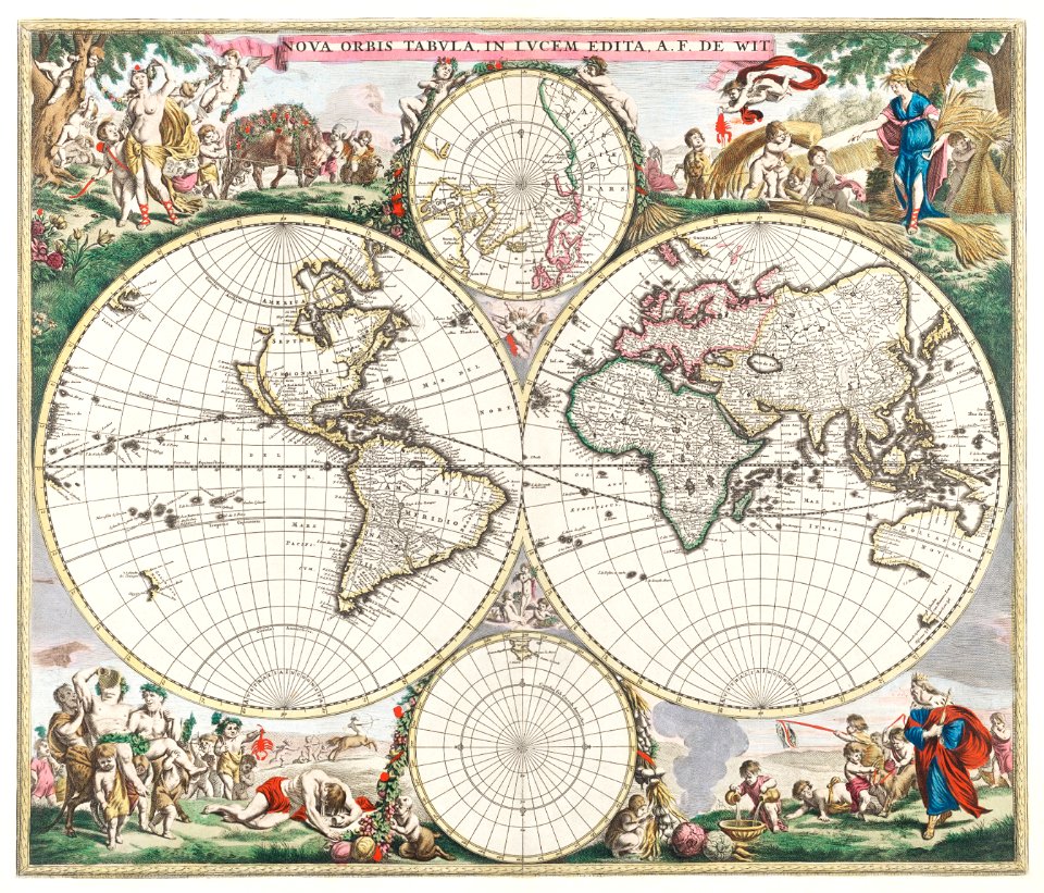
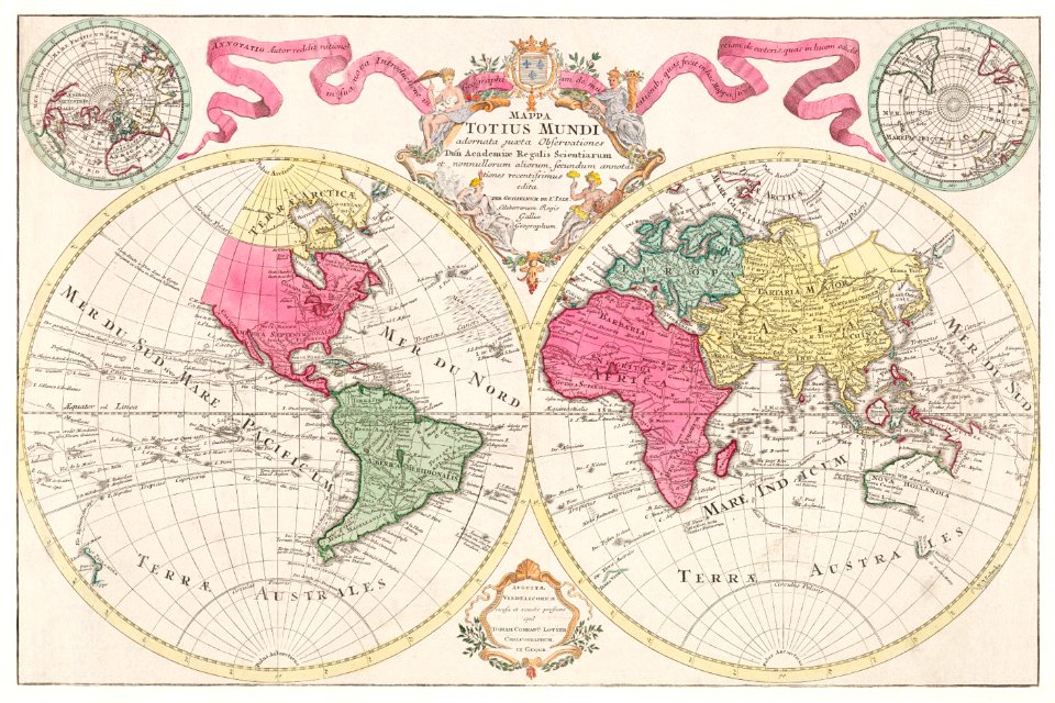
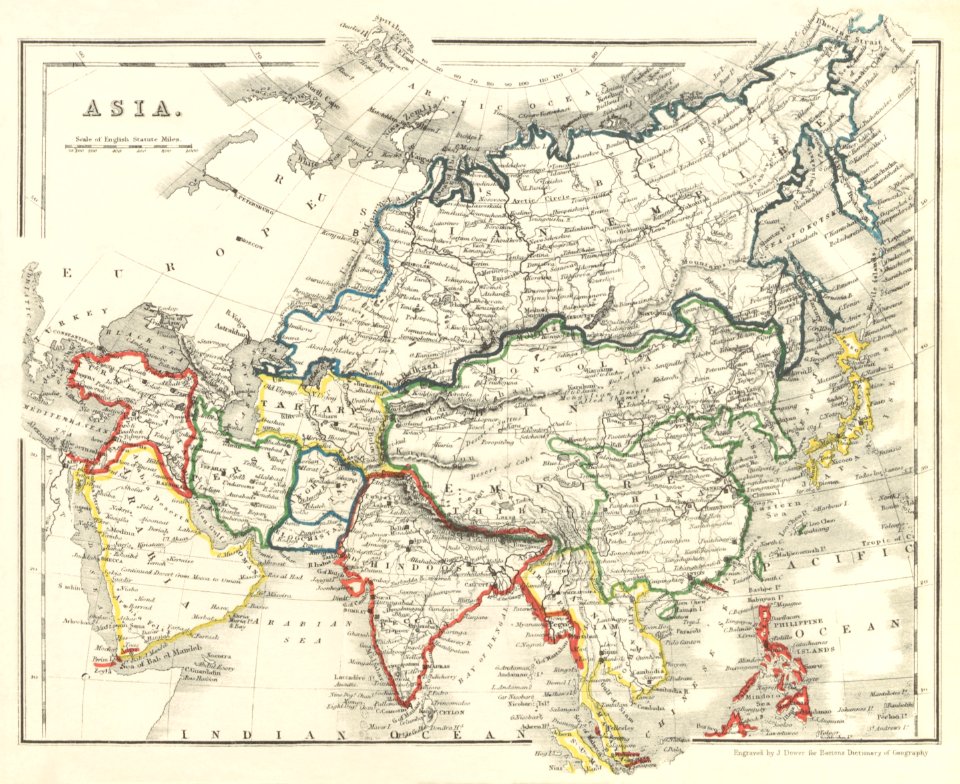
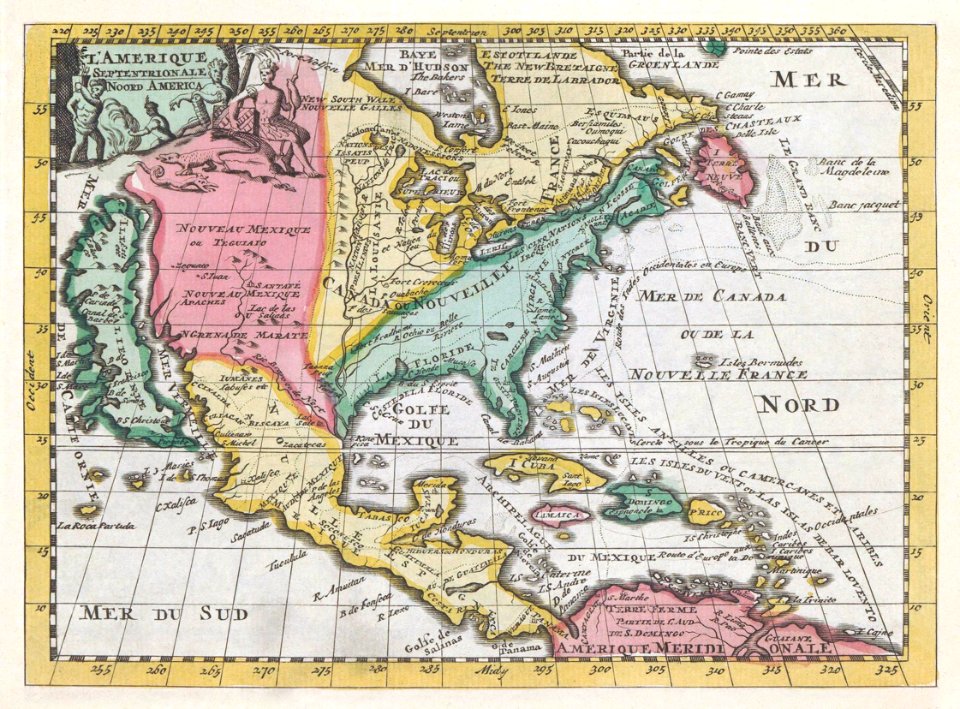
477 Free Artworks of Maps Antique
bibliothèque nationale de france
vintage maps
old map
vintage
world map
illustration
engraving
grabados
poster
book
illustration
book
the custom house, dublin (1707)
1766 fleurons
the custom house, dublin (1707)
1766 fleurons
map of ancient asia minor by philippe de la rué
bibliothèque nationale de france
atlas des anciens plans de paris by imprimerie nationale, 1880 from bhvp
baroque
buildings in trenton, new jersey
prisons in new jersey
old maps of groningen (city)
egbert haubois
bibliothèque nationale de france
sanson maps of asia
maps by nicolas sanson
guillaume sanson
maps by nicolas sanson
guillaume sanson
maps by nicolas sanson
guillaume sanson
map of the bosphorus strait by guillaume sanson (1665)
bibliothèque nationale de france
map of the bosphorus strait by guillaume sanson (1665)
bibliothèque nationale de france
historical collections of the state of new jersey (1852)
stony brook, new jersey
historical collections of the state of new jersey (1852)
prisons in new jersey
historical collections of the state of new jersey (1852)
illustration
maps
bibliothèque nationale de france
guillaume sanson
bibliothèque nationale de france
sanson maps of asia
bibliothèque nationale de france
guillaume sanson
maps of ancient israel by philippe de la rué
map of modern syria by philippe de la rué
sphinxes in art
1726 fleurons
le plan de la ville, cité, université fauxbourg de paris by melchior tavernier
maps of paris from bibliothèque nationale de france
historical collections of the state of new jersey (1852)
1852 maps of the united states
pierre moullart-sanson
guillaume sanson
prints by jan luyken in the rijksmuseum amsterdam
maps in the rijksmuseum amsterdam
bibliothèque nationale de france
1667 sanson map of africa
map of ancient asia minor by philippe de la rué
bibliothèque nationale de france
map of ancient asia minor by philippe de la rué
bibliothèque nationale de france
illustration
printing
travel
book
maps of ancient israel by philippe de la rué
old maps of the united monarchy
travel
book
carte des côtes de malabar et de coromandel (1723)
philippe buache
paphlagonia heroicis temporibus henetorum populorum sede clara, cujus paphlagonia maritima suit romanorum aetate ponti regni pars occidentalior. in qua sinope totius mithridatis regni caput - ex conatibus... - btv1b53179304p
guillaume sanson
illustration
book
illustration
book
illustration
book
illustration
book
illustration
book
high renaissance
pirro ligorio
map of ancient asia minor by philippe de la rué
bibliothèque nationale de france
cartouches by guillaume delisle
philippe buache
maps of the iberian peninsula by guillaume delisle
1700s maps of the iberian peninsula
carte de barbarie, nigritie, guinée par guillaume delisle (1707)
university of washington
carte de l'isle de ceylan by guillaume delisle (1722)
philippe buache
carte de l'afrique françoise par guillaume delisle (1726)
philippe buache
map of the bosphorus strait by guillaume sanson (1665)
bibliothèque nationale de france
maps of ancient rome by braun & hogenberg
high renaissance
john thomas smith (1766-1833)
clarendon house
carte de moscovie by guillaume de l'isle (1706)
university of washington
illustration
technology
map of europe by guillaume delisle (1700)
university of washington
jan huygen van linschoten
renaissance
cartography
maps
australia
maps
antique
maps
vintage
maps
australia
maps
maps
art
australia
maps
astronomy
maps
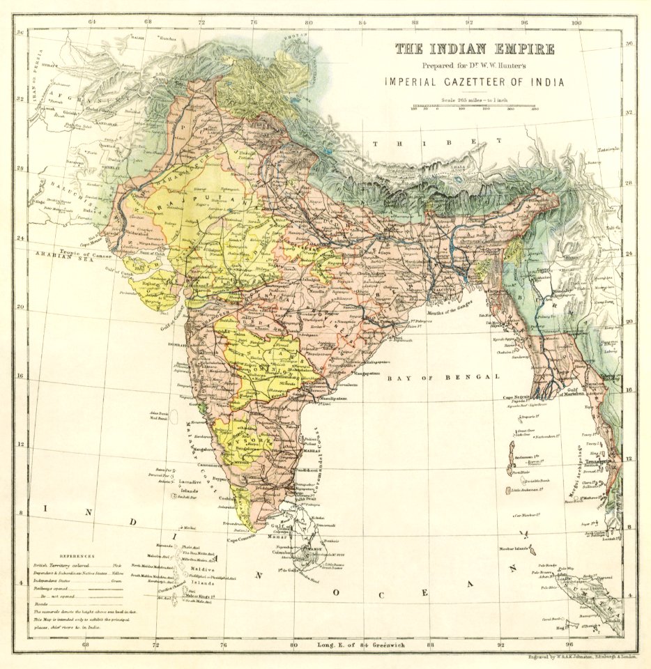
india
maps
western
maps
maps
wall
australia
maps
medieval
maps
world map
maps
globe
maps
princess
maps
illustration
maps
illustration
maps
globe
maps
architecture
maps
jungle
exotic
earth
maps
adventure
maps
401 - 477 of 477
/ 5


![Anaplus Bosphori Thracii / ex indagationibus Petri Gyllii; delineatus [a] Gulielmo Sanson..., 1665](https://cdn.creazilla.com/illustrations/10001604206/anaplus-bosphori-thracii-ex-indagationibus-petri-gyllii-delineatus-a-gulielmo-sanson-1665-md.jpg)